The “Mobility Study and Visualization” project aimed to develop visualization tools for the study of mobility in inter and intra urban spaces. For this purpose, Altice’s mobile network access data was used, later enriched through the use of other data sources.
As an exploratory project, it was intended, first and foremost, to identify algorithms, technologies and graphic models that would allow the identification and analysis of flow patterns in order to enhance mobility sustainability. In particular, visual models were created for the analysis of routes, commuting, coverage and public transport network efficiency, group movements, and, in general, it was intended to demonstrate how intra and inter-city space is used. .
The project was based on the experience of the Center for Informatics and Systems of the University of Coimbra, in the areas of visualization and mobility studies, allowing the exploration of models and algorithms developed for academic purposes in the real world. In this context, special highlight to the geographic space hexagonal segmentation algorithms to optimize visualization processes (segmentation refers to the process of dividing a digital image into multiple zones (set of pixels) or objects, in order to simplify and/or change the representation of an image to facilitate its analysis), the characterization of urban spaces from points of interest and the visualization models of public transport vehicle flows, which have been developed over the years.
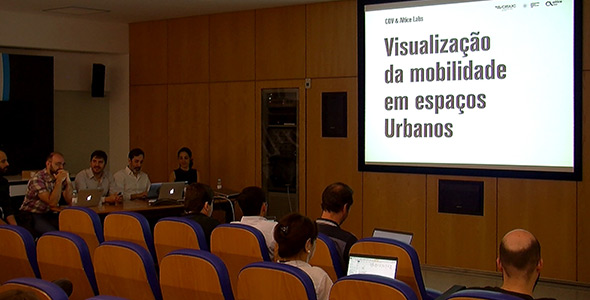
You can watch the presentation video here.